People book a Luxor balloon flight for the sunrise and remember it for the archaeology. From the basket you are looking at the largest concentration of monumental tombs and mortuary temples on earth, laid out exactly as the ancient Egyptians planned it — which is something no photograph taken from the ground can show you.
The geography, in one paragraph
Ancient Thebes was a city of two halves. The living city — Karnak, Luxor Temple — sat on the east bank, where the sun rises. The city of the dead sat on the west bank, where it sets. Between the cultivated strip and the limestone cliffs, the Egyptians built a landscape of mortuary temples in the open and hid the tombs themselves in the wadis behind. Balloons launch from the flat land west of the river and drift north with the dawn breeze, which means you cross that entire arrangement in about forty minutes.
What you pass, roughly in order
The Colossi of Memnon
Two seated statues of Amenhotep III, 18 metres high, standing alone in the fields. From the ground they look isolated. From the air you can see they were the gateway to an enormous mortuary temple whose footprint is still visible in the ground behind them — the largest ever built in Thebes, mostly gone.
The Ramesseum
Ramesses II’s mortuary temple, with the fallen colossus that inspired Shelley’s Ozymandias. From above you read the whole plan at once: pylons, courts, hypostyle hall, and the mudbrick storerooms curving around the back like a honeycomb.
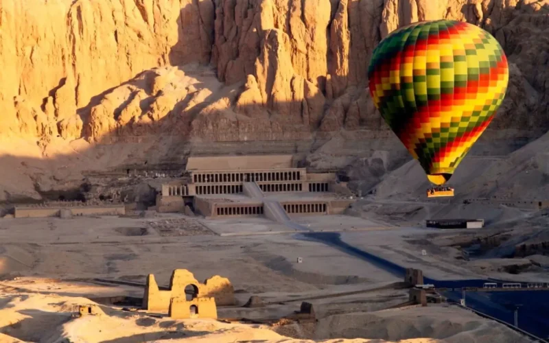
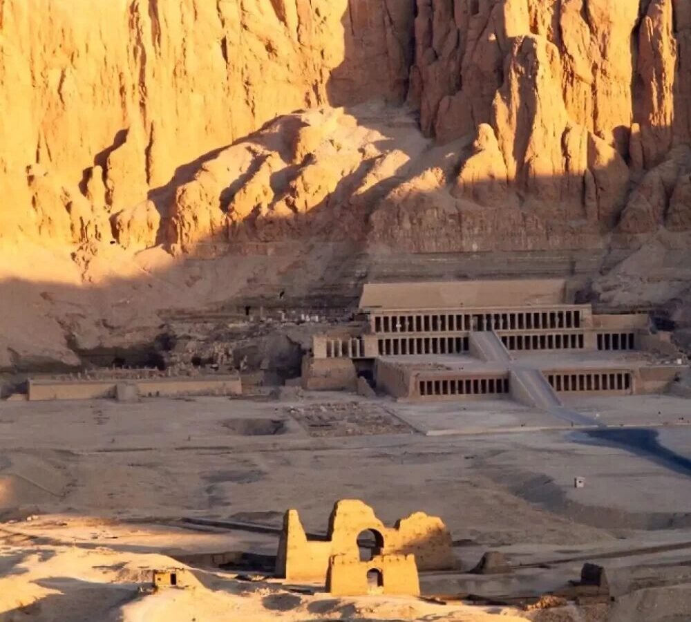
Deir el-Bahari — the Temple of Hatshepsut
The moment most people photograph. Three colonnaded terraces cut straight into a natural amphitheatre of cliff, with the rock rising several hundred metres directly behind. It is the one monument in Luxor that was designed with the landscape rather than against it, and you only really see that from the air.
The Valley of the Kings
Behind the cliff at Deir el-Bahari, a dry wadi with paths and low walls and small dark doorways in the rock. There is deliberately nothing monumental to see — that was the point. What the air gives you is the logic: the tombs cluster below a natural pyramid-shaped peak, el-Qurn, which the Egyptians treated as a sacred pyramid provided by the gods.
The village of the workmen
Deir el-Medina, the settlement where the men who cut and painted the royal tombs lived with their families for four centuries. A neat grid of small stone houses. From above it looks like a floor plan.
The Nile and the east bank
As you climb, the whole valley resolves: a hard line between green and desert, the river, and on the far bank Karnak and Luxor Temple catching the first direct sun.
Where to look, and when
- First ten minutes, low: the detail — village life waking up, donkeys, cane fields, the temples in relief while the shadows are still long.
- Middle of the flight, highest: the whole necropolis in one frame, cliffs to river.
- As the sun clears the eastern hills: turn around. The light comes across the valley from behind Karnak and hits the western cliffs full on. That is the shot.
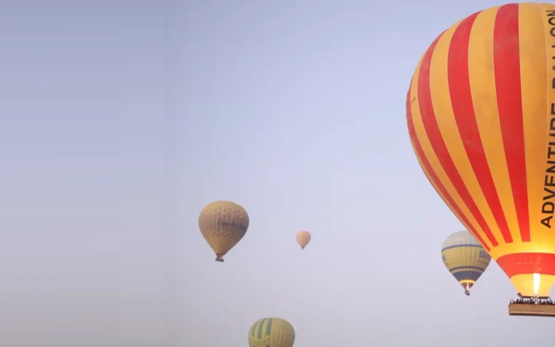
- Descent: the other balloons. Twenty envelopes at different altitudes over a desert necropolis is a photograph in itself, and easy to forget while you are looking down.
Photography, practically
- A wide lens does more work than a long one — you are photographing a landscape, not a monument.
- Shoot the low-light first ten minutes at a higher ISO rather than missing them.
- Use a wrist strap. There is nothing below you.
- Put the camera down for the sunrise itself. You will not regret the two minutes.
Then walk it
Seeing the necropolis from above and then standing in it the same morning is the single best way to understand Luxor — which is why our balloon plus day tour exists. The aerial view gives you the plan; the ground gives you the scale.